Precision Drone Surveying Services in Tulsa, Oklahoma
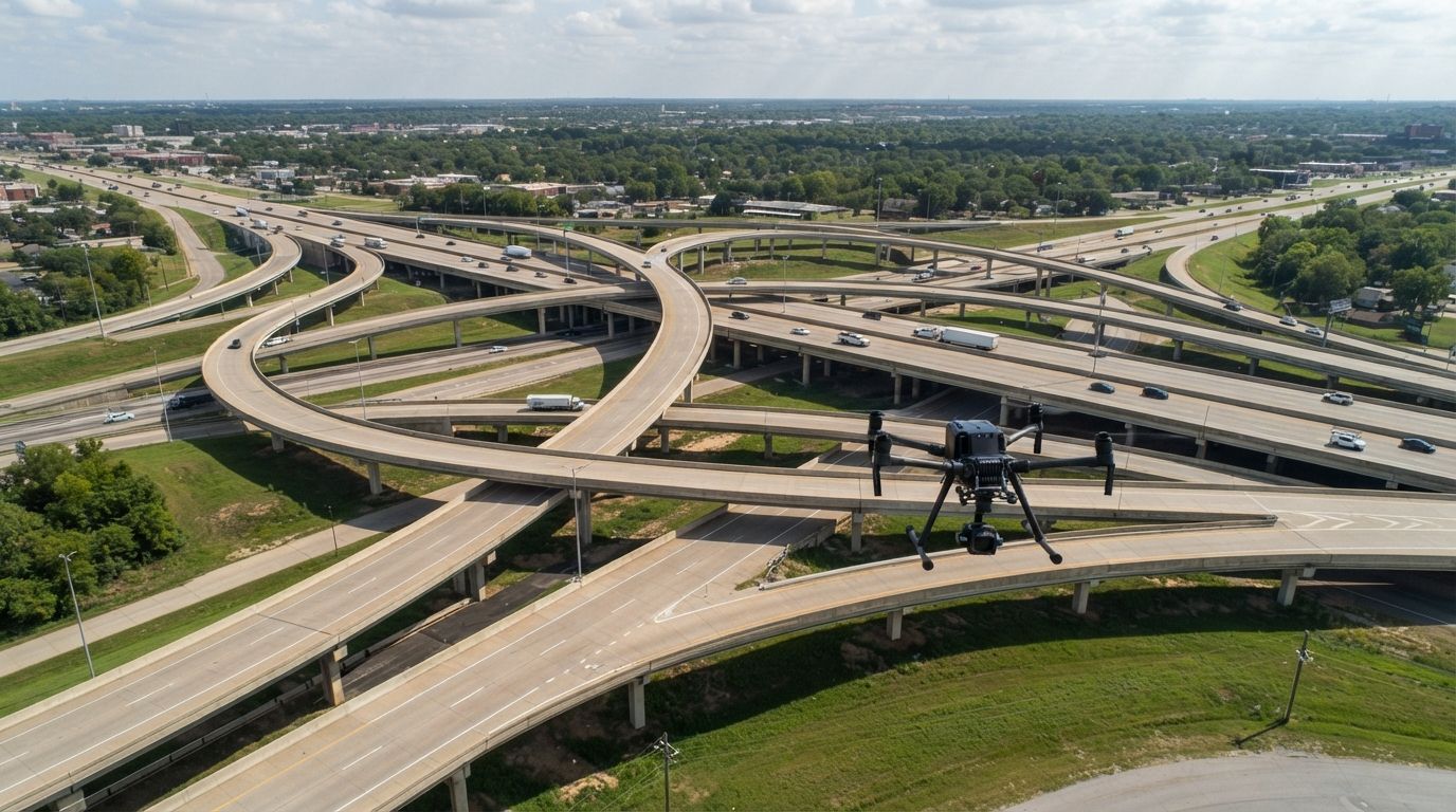

Need accurate, up-to-date topographical data, volumetric calculations, or detailed site maps for your project in Tulsa? Traditional surveying methods are slow, labor-intensive, and often fraught with delays. Stop waiting around. We harnesses cutting-edge drone technology to deliver unparalleled precision and speed, providing the critical data you need to drive smarter decisions.
What We Cover:
- Roof Inspections
- Why Choose Us for Surveying
- Our Drone Surveying Workflow
- Benefits for Your Projects
- Key Applications of Drone Surveying
- Delivering Actionable Insights
- Serving Tulsa's Development
Why Choose Us for Drone Inspection
When your project hinges on accurate measurements and timely data, you can't afford guesswork. We bring a level of precision and efficiency to surveying that traditional methods simply can't match. Our team combines expert drone operation with advanced photogrammetry and mapping software, ensuring every data point is captured with meticulous detail. Whether you're planning a new development in Jenks, managing resources near Keystone Lake, or needing updated maps for municipal projects in Midtown, we deliver reliable results. You're choosing a partner dedicated to giving you the competitive edge through superior data.
Our Drone Surveying Process
Our drone surveying in Tulsa, Oklahoma is engineered for maximum accuracy and efficiency, delivering the precise data your projects demand. It all begins with a thorough understanding of your project scope, including the required outputs like 2D orthomosaics, 3D models, or volumetric calculations. Next, our certified pilots conduct a meticulously planned flight, capturing hundreds or thousands of georeferenced images or LiDAR data across your site, even in complex terrains near the Arkansas River. These datasets are then processed using state-of-the-art software to create highly accurate deliverables. Finally, you receive comprehensive, easy-to-integrate data that streamlines your planning and decision-making, fast.
How Does Drone Surveying Improve Project Outcomes?
You're constantly looking for ways to optimize, accelerate, and de-risk your projects. Drone surveying isn't just a new tool; it's a fundamental shift in how you acquire and leverage spatial data. By integrating our services, you're not just getting maps; you're getting a strategic advantage that impacts every phase of your project. We'll show you how to move faster, smarter, and with greater confidence, leading to better results and fewer costly surprises. Prepare to transform your project management.
- Accelerated Data Collection: Cover vast areas in hours, not days or weeks, significantly speeding up project timelines.
- Enhanced Accuracy: Generate precise topographic maps, elevation models, and volumetric data with centimeter-level accuracy.
- Reduced Costs: Lower labor expenses, eliminate the need for expensive ground equipment, and minimize project overhead.
- Improved Safety: Keep survey teams safely on the ground, avoiding hazardous terrains or active construction zones.
- Comprehensive Visuals: Create high-resolution orthomosaic maps and detailed 3D models for better visualization and planning.
- Regular Progress Monitoring: Easily track site changes, measure progress, and verify compliance with frequent aerial updates.
Applications for High-Accuracy Data Collection
The versatility of drone surveying makes it an indispensable tool across a multitude of industries. If your work involves land, infrastructure, or construction, our services can provide critical, actionable intelligence that streamlines your operations and improves your bottom line. We're delivering the future of geospatial data, tailored to your specific industry challenges and goals, whether you're working on urban infill in the Pearl District or rural land development. Here's where we make a real difference.
- Construction & Development: Site planning, progress monitoring, earthwork calculations, and as-built surveys.
- Land Management: Property boundary verification, environmental impact assessments, and land use planning.
- Mining & Aggregates: Stockpile volume calculations, pit mapping, and reclamation monitoring.
- Infrastructure Planning: Route planning for roads, pipelines, and utilities, bridge inspections, and railway line assessments.
- Agriculture: Field mapping, drainage analysis, and precision farming support.
- Environmental Studies: Erosion monitoring, wetland mapping, and ecological surveys
Delivering Actionable Insights, Fast
Having a mountain of data means nothing if you can't quickly extract value from it. Our expertise lies not just in collecting vast amounts of data, but in transforming it into actionable insights that you can immediately put to use. We deliver clear, concise, and highly detailed reports, 2D maps, and 3D models that integrate seamlessly into your existing CAD or GIS workflows. This means less time interpreting raw data and more time making informed decisions that drive your project forward. You'll get clarity, not just complexity, ensuring every piece of information serves your ultimate goal.
Don't let outdated surveying methods slow your progress. Elevate your projects with precision drone surveying. Call us for a detailed quote today!